

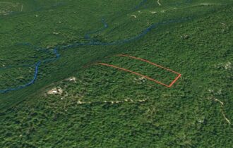
7.5 Acres at Top of Buck Creek Mountain
Mountain Top Off Grid Cabin Site
Purchase Price
Contact
Call/ text Jimmy Chandler at (580) 317-5275.
Description
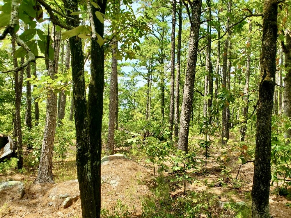
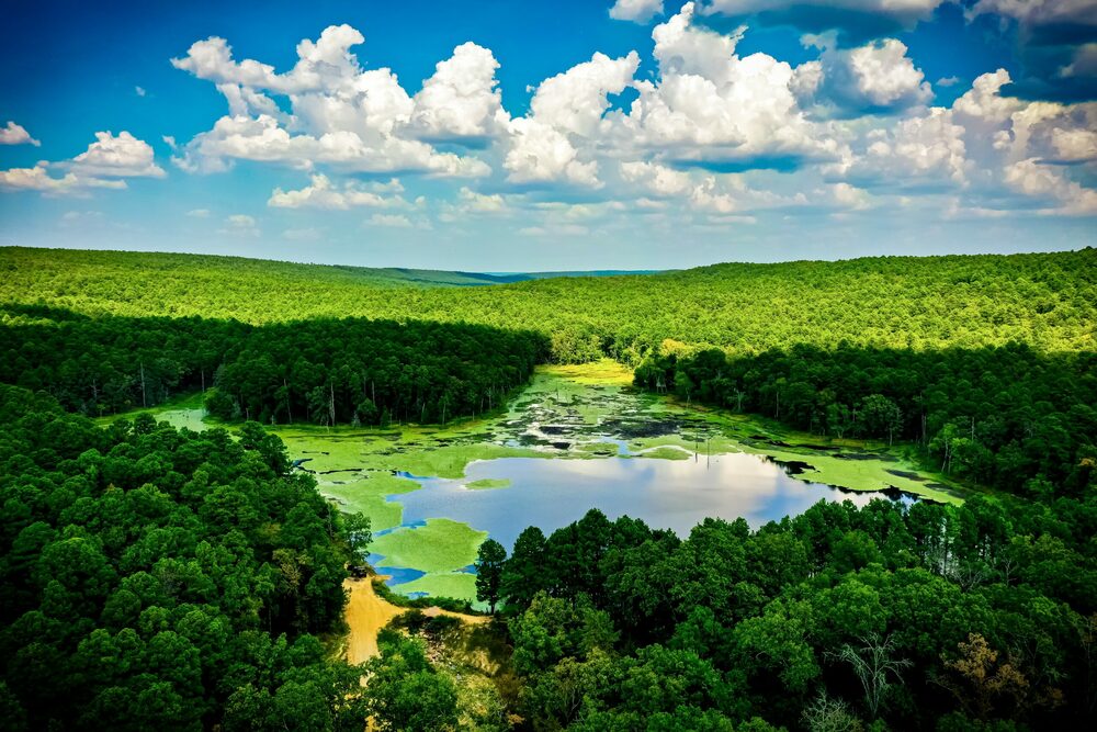
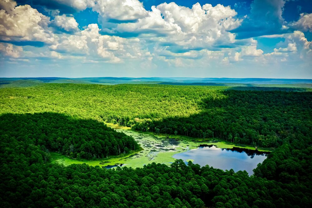
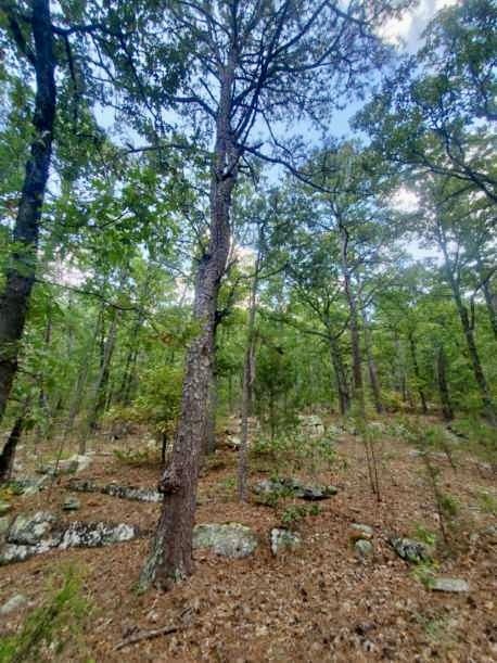
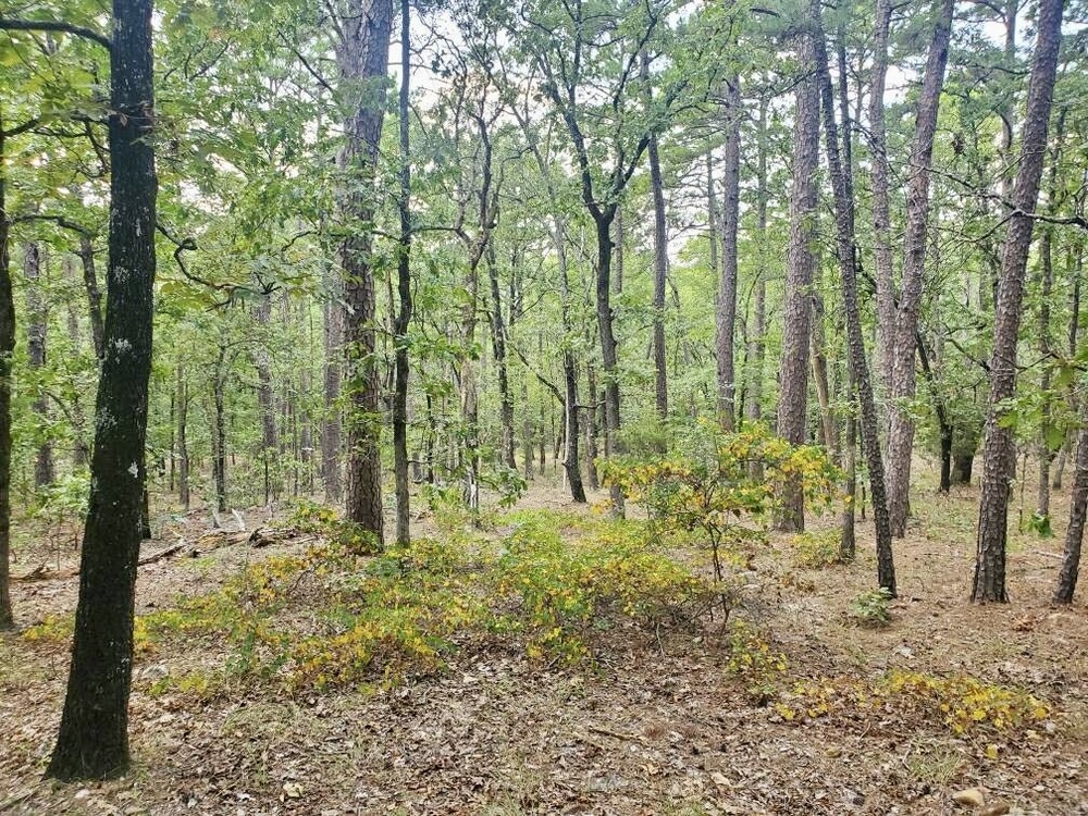
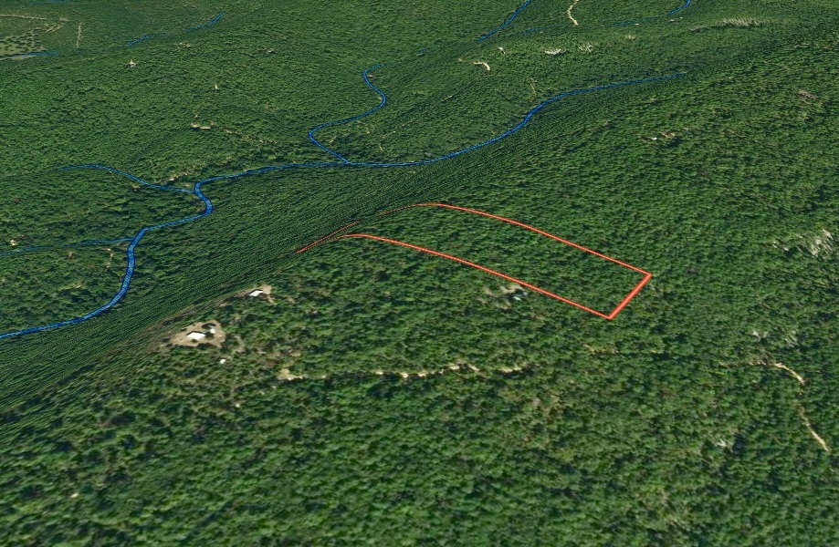
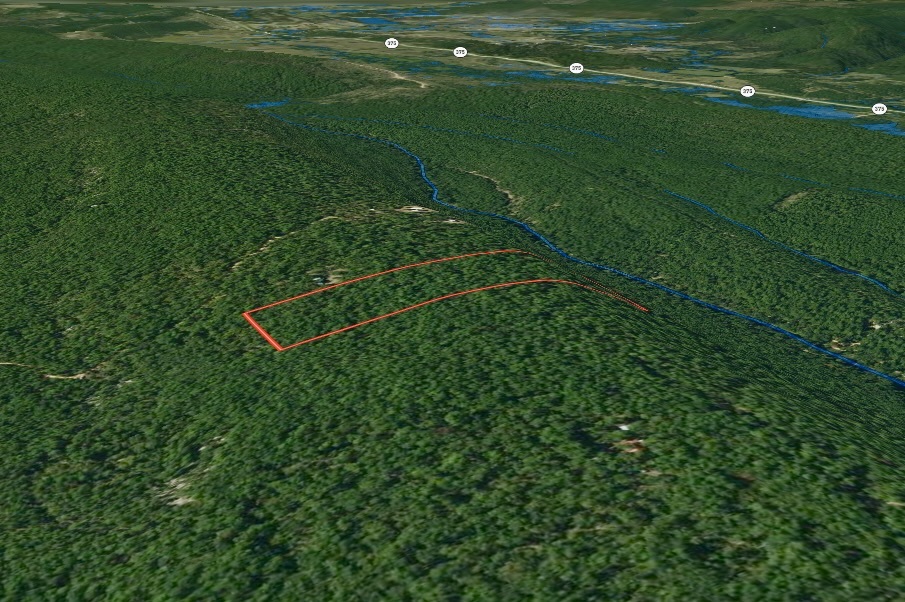
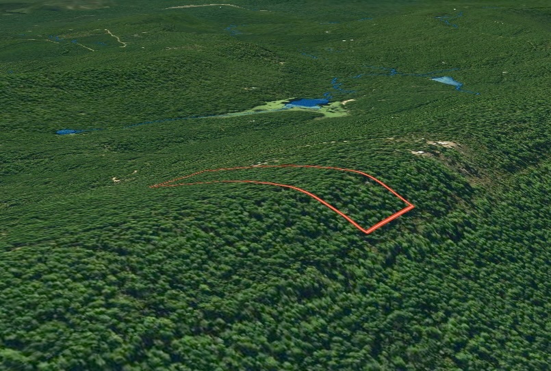
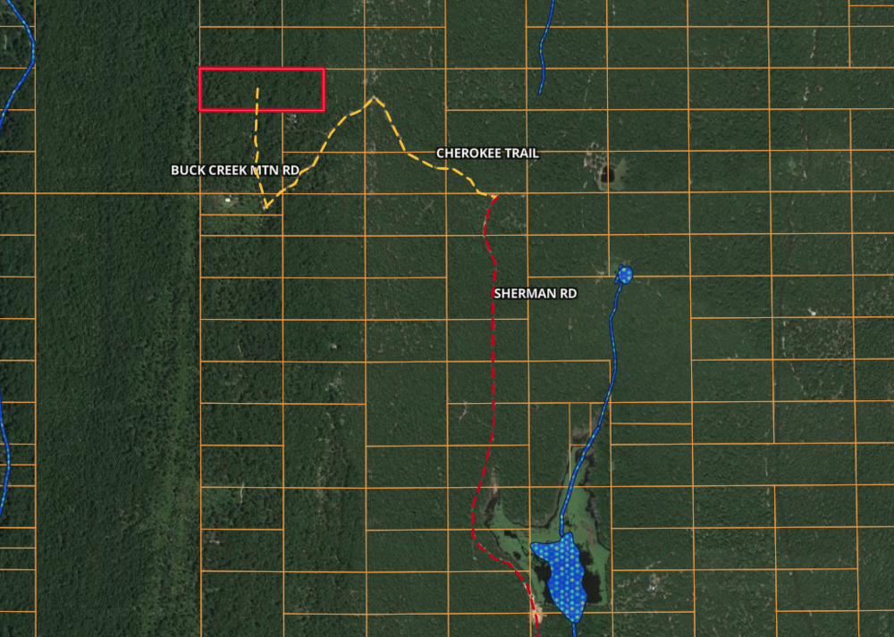
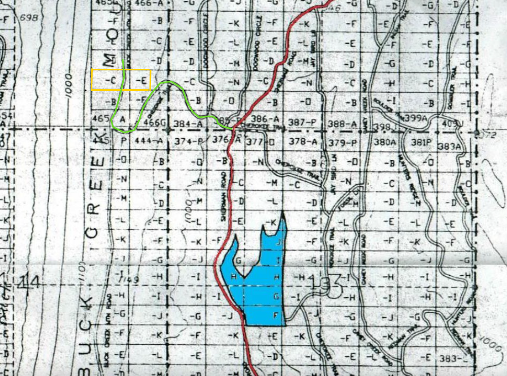
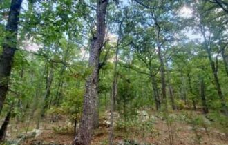
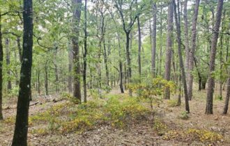
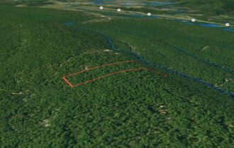
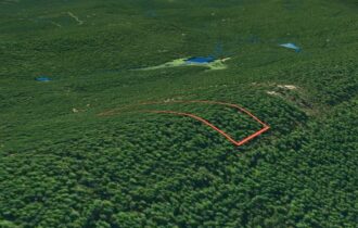
7.5 Acres on Buck Creek Mountain ridge line Road located in the Kiamichi Wilderness near Antlers and Moyers, OK.
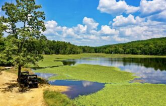
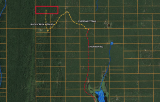
This tract is located in Phase III of the Kiamichi Wilderness about half a mile past Pappy Kirk Lake. Take Sherman past the lake then turn left on Cherokee Trail. Once you get to a T, take a right down Buck Mtn Creek Rd. This is a ridge line trail that will take you to the property. You will pass a couple awesome off the grid cabins with spectacular views just to get your off the grid dreams going.
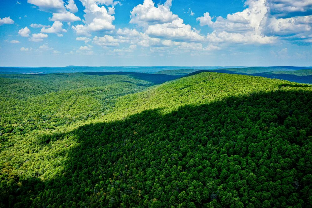
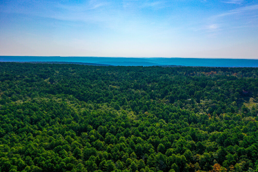
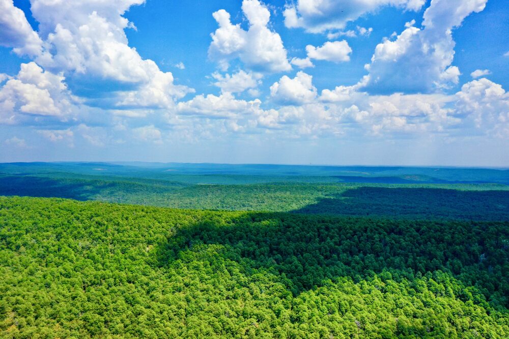
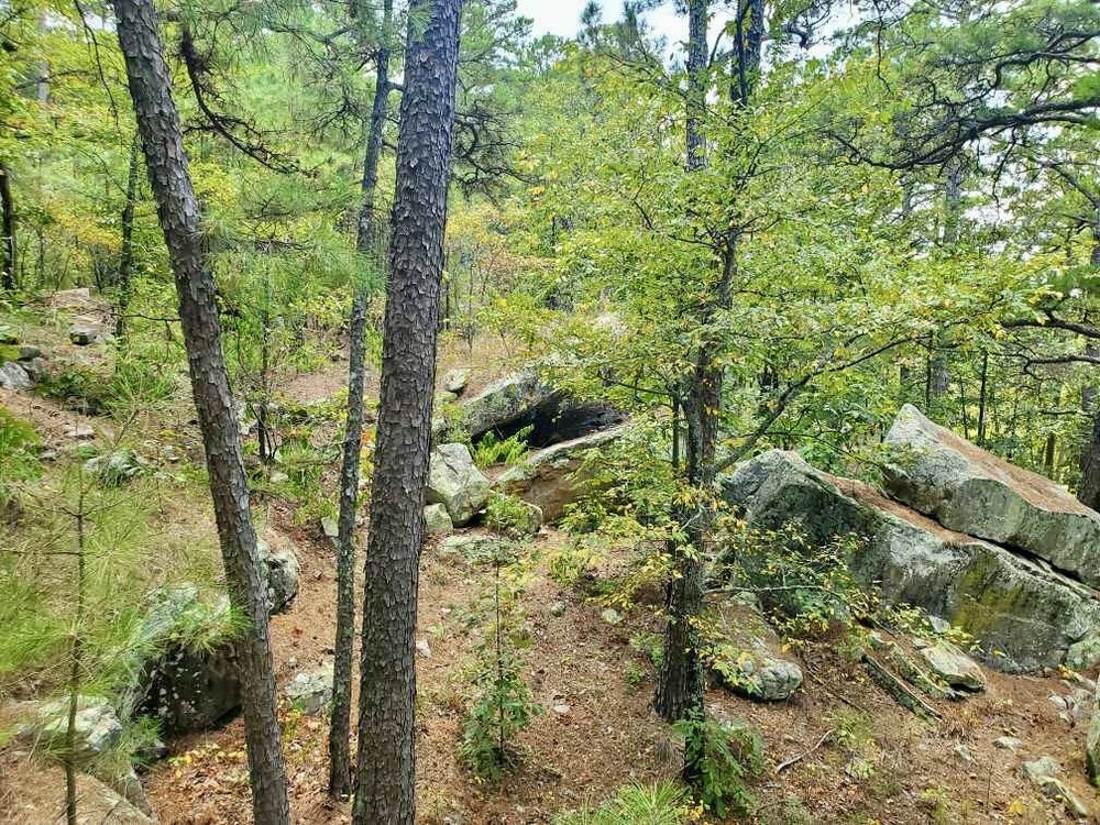
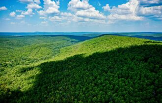
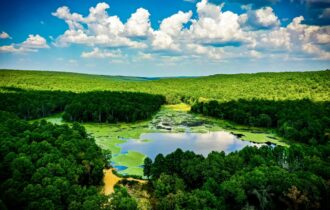
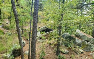
Located at one of the highest elevations in all of the Kiamichi Wilderness.
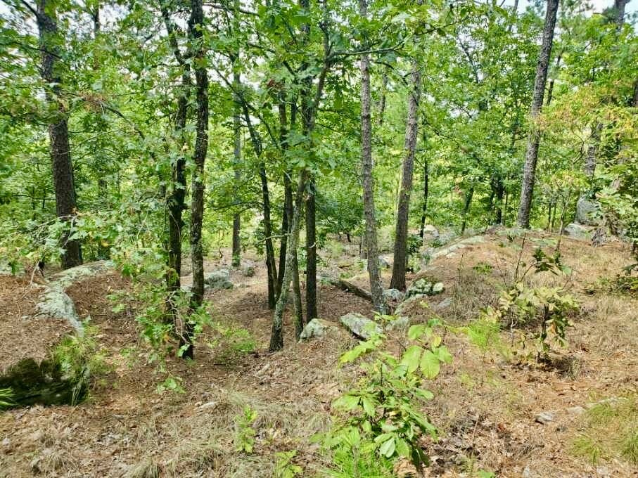
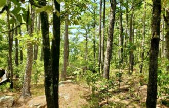
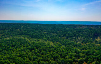
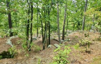
The property has some good flatter areas at the top for a cabin site. The slope drops gently to the east and is more like a cliff on the western boundary. Creating some amazing giant boulders and some truly spectacular views of the westward sunsets.
NO UTILITIES AVAILABLE, but great place for an off the grid cabin.
Video:
For more information about the Kiamichi Wilderness Land Owners’ Association and restrictions:
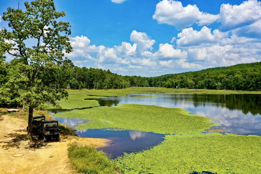
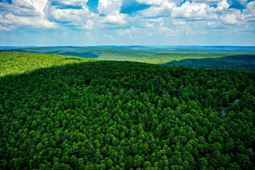
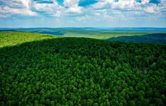
The Wilderness is made up of an astonishing 10,000 acres of some of God’s finest work. The Wilderness is broken up into tracts which are surrounded by thousands of acres of untamed wilderness. Ownership of a lot gives you limited access to the entire private Wilderness.
Once into the Wilderness you have access to not only your land but also some truly incredible ATV’ing, hunting, fishing, and other outdoor activities. You could ride your side by side for days through these vast winding trails which cover terrain you would not believe existed in Oklahoma. Come join the community and buy your ticket to paradise today.
Property Information
Parcel Size
7.5 Acres
State
Oklahoma
County
Pushmataha
Nearest Cities
Antlers, OK
Parcel Number
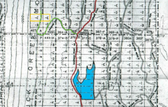
0000-11-01S-15E-0-028-01
Legal Description
Unit 465-C and W/2 of 466-E
Property Features
Acres
7.5
County
Pushmataha
Access
Mountain Dirt Road
Power
None
Water
None
Coordinates
34.478176, -95.695242
Land ID Link:

Google Maps: